華埠社區地圖 Mapping Chinatown Calgary
REFLECTIVE URBANISMS
Mapping Calgary Chinatown
Through Transformations in its Architecture
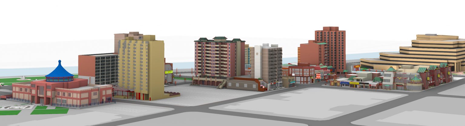
REFLECTIVE URBANISMS is an interactive web project that maps Calgary Chinatown through its architectural changes. Here, transformations that have occurred in its buildings, since Chinatown was established in its current location in 1910, are visualized and investigated alongside community stories about the histories and activities that took place in, outside, and around these buildings.
https://www.reflective-urbanisms.com/c/buildings/
https://cmagazine.com/articles/linda-maes-an-architectural-past-life
Places
卡城華埠 Calgary Chinatown
Calgary, Alberta
廣東樓區 Canton Block serves as a symbol of the establishment of the current Chinatown
Road Map
Calgary, Alberta
Popular VisitLists
Discover your inner viking
Gimli, Manitoba 1 place
We tell the story of the settlement of the New Iceland !
View VisitList
Hank Snow Country Music Centre
Shelburne, Nova Scotia 1 place
This Centre is located in a 125 year old CN Train Station with memorabilia & treasures.
View VisitList
Built Heritage
Annapolis Royal, Nova Scotia to Middleton, Nova Scotia 5 places
Built heritage in Annapolis Royal, Bridgetown, and Middleton, Nova Scotia.
View VisitList
The Golden Era: BC Electric Railway’s Interurban Trams and Street Cars
Surrey, British Columbia to North Vancouver, British Columbia 4 places
Discover the stories of interurban trams and street cars that shaped BC’s Lower Mainland.
View VisitList