Ahuntsic-Cartierville is located in the north end of Montreal, on the banks of the Rivière des Prairies. It traces its history to the fortified Sault-au-Récollet settlement, which was established by the Sulpicians in 1696. This in turn led to the colonization of the area.
One of the oldest villages on the island of Montreal, Sault-au-Récollet still retains its village atmosphere with many houses dating from the 18th and 19th centuries. It was the original site of Fort Lorette, a trading post and mission for the conversion of the First Nations people of the area.
It grew prosperous in the 18th century with the construction of a mill on the rapids on the Rivière des Prairies (from which the village derives its name: Sault-au-Récollet, or Recollet Falls). A dam was built on the narrow arm of the river that passes between the village and Visitation Island, which splits the river in two at that point. A museum and cultural centre, the Maison du Pressoir, perpetuates this memory. A hydroelectric dam was built later and still exists further down the river.
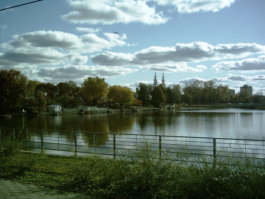
The village and Île de la Visitation (Visitation Island) are surrounded by the green space of the Parc-Nature de l’Île de la Visitation. The village is noted for Visitation Church, one of the oldest churches in Montreal, which is a listed historical monument.
The changing seignieurial environment was due to the industrialization of the tram and rail companies.
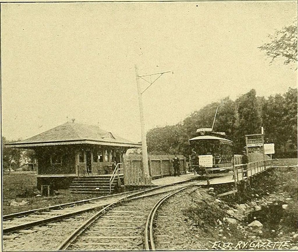
The Montreal Park and Island Railway was incorporated by the Legislature of Quebec in 1885 to run railway service in the suburbs of Montreal.
They built lines to Lachine, St Laurent and Cartier-Ville, and to Sault-au-Récollet. The company had an agreement with the Montreal Street Railway Co to allow MP&IR cars to run through to terminals in Montreal.
The company was formed on 1893-12-27 and was eventually consolidated with other companies to form the Montreal Tramways Company in 1911.
Cartierville | History
Cartierville is bordered to the north by the Rivière des Prairies, to the south by the borough of Saint-Laurent, to the east across Autoroute 15 by Ahuntsic, and to the west by Bois-de-Saraguay Nature Park.
Cartierville grew as a suburb when it became in 1898 the north terminus of the Montreal Park and Island Railway tramway line, also known as the « 17-Cartierville ».
Named in the honour of Sir George-Étienne Cartier, it became a village officially in 1906.
During December 1912, it achieved city status. Two years later, the rural and agricultural part of Cartierville was granted independence from the city and was then known as Ville de Saraguay.
On 22 December 1916, the provincial government ordered the annexation of Cartierville to Montreal.
1916 Annexion of Cartierville and Sault-au-Récollet
Prior to the 2002 merger with the district (quartier) of Ahuntsic, Cartierville was composed of three neighborhoods: Cartierville, Bordeaux and Nouveau-Bordeaux.
Cartierville was famous for the Belmont Park amusement park which operated from 1929 to the 1980s.
https://m.facebook.com/ahuntsic.cartierville
