Trailhead
The trailhead is located just past the campground. Look for the obvious map kiosk adjacent to the road.
Trail
For the first couple of kms the trail skirts the edge of the river. In 2015, GORA established two reroutes to circumvent eroded sections of trail.
Shortly after passing under a cable car crossing the river (used to check flow rates), the trail turns abruptly to the right and heads inland. Then, it turns left and climbs a hill.
At this point, you are out of hearing range of the river. The trail eventually junctions with an ATV track. Turn left and follow the track down, back to the river. Expect the trail to be wet here during high water. The ATV track soon ends and the trail turns right heading uphill again. Look for an abrupt left to take you on a route that parallels the river.
Cautions
- Parts of this trail might be under water during the spring freshet.
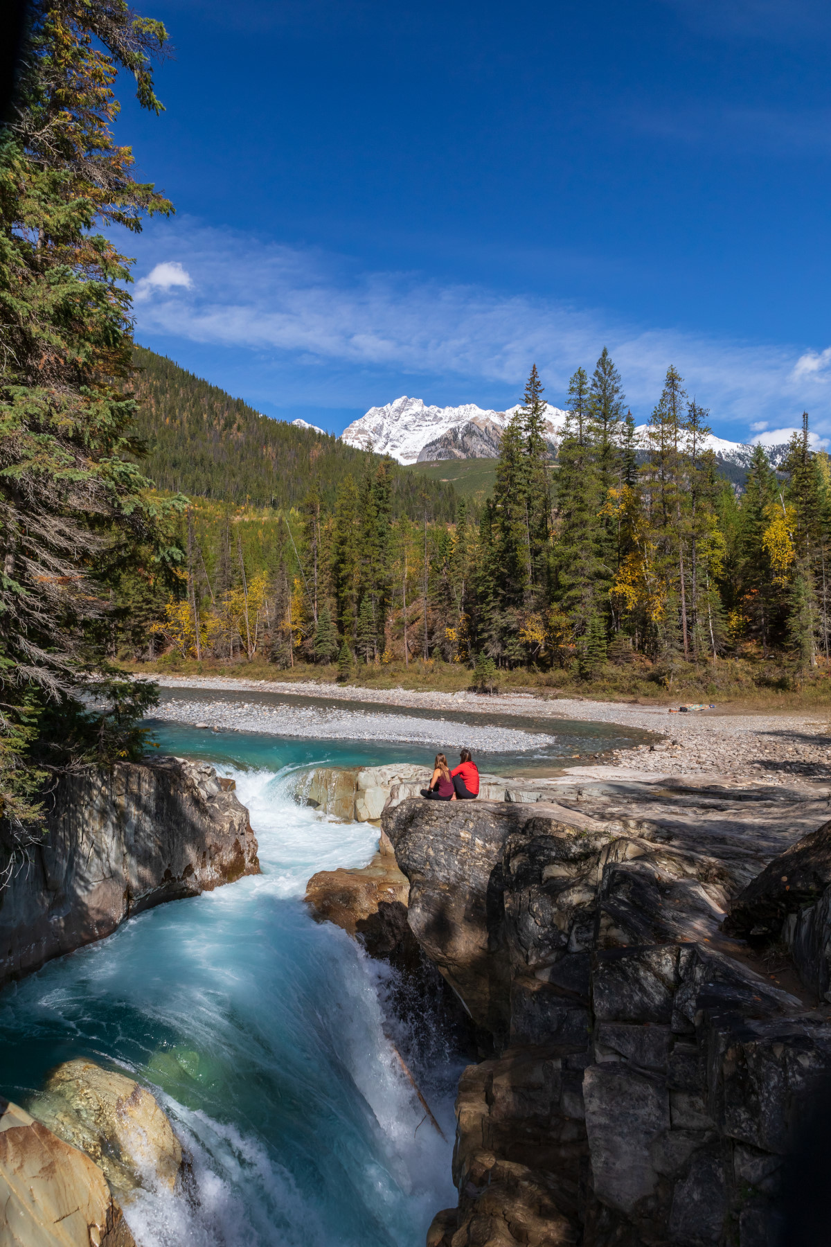
- Be careful when viewing Thompson Falls
